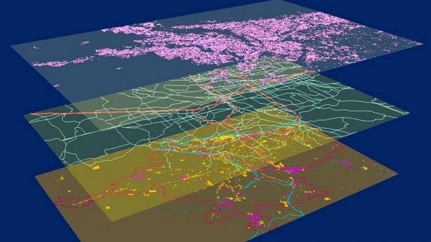
GIS has numerous applications in a variety of industries, including environmental management, urban planning, emergency management, public health, and more. GIS can be used to analyze patterns of air pollution in a city, to model the spread of a disease outbreak, to plan transportation infrastructure in a growing city, and more.