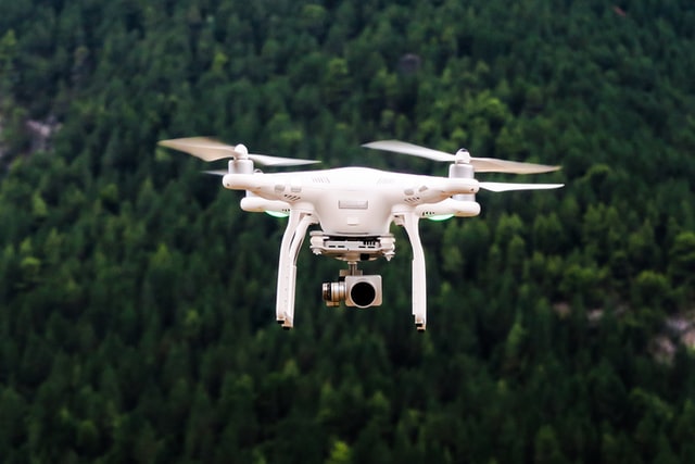
Drone mapping or Drone Survey is the process of surveying an area of land with a UAV. An operator flies the drone over an area of land, taking hundreds of pictures as it moves. Then, with the help of computer software, they stitch and layer the images, creating a model of the site. This process is also how drone photogrammetry works, and the end result is an accurate 3D representation of the area.
Help Center
Frequently Asked Questions
What is required to fly a Drone?
Anybody can operate a drone as a hobbyist as long as they adhere to the drone code and remain vigilant whilst flying. However, to operate a drone at a commercial level, you must undertake the correct training.
What is the meaning of CAP?
CAP is an abbreviation for Civil Aviation Publication i.e “CAP 722” A “CAP is a document that is written as a regulatory document by the civil aviation authority. Offering guidance to those that occupy Indian airspace.
What is the meaning of VLOS?
VLOS is an abbreviation for Visual Line Of Site and is exercised during every drone operation. The current threshold for visual line of site is 500m. There is also a fairly new term in the UAV industry call BVLOS Beyond Visual Line of Site. Which is a requirement needed during mapping of large areas or topographical surveys or land survey.